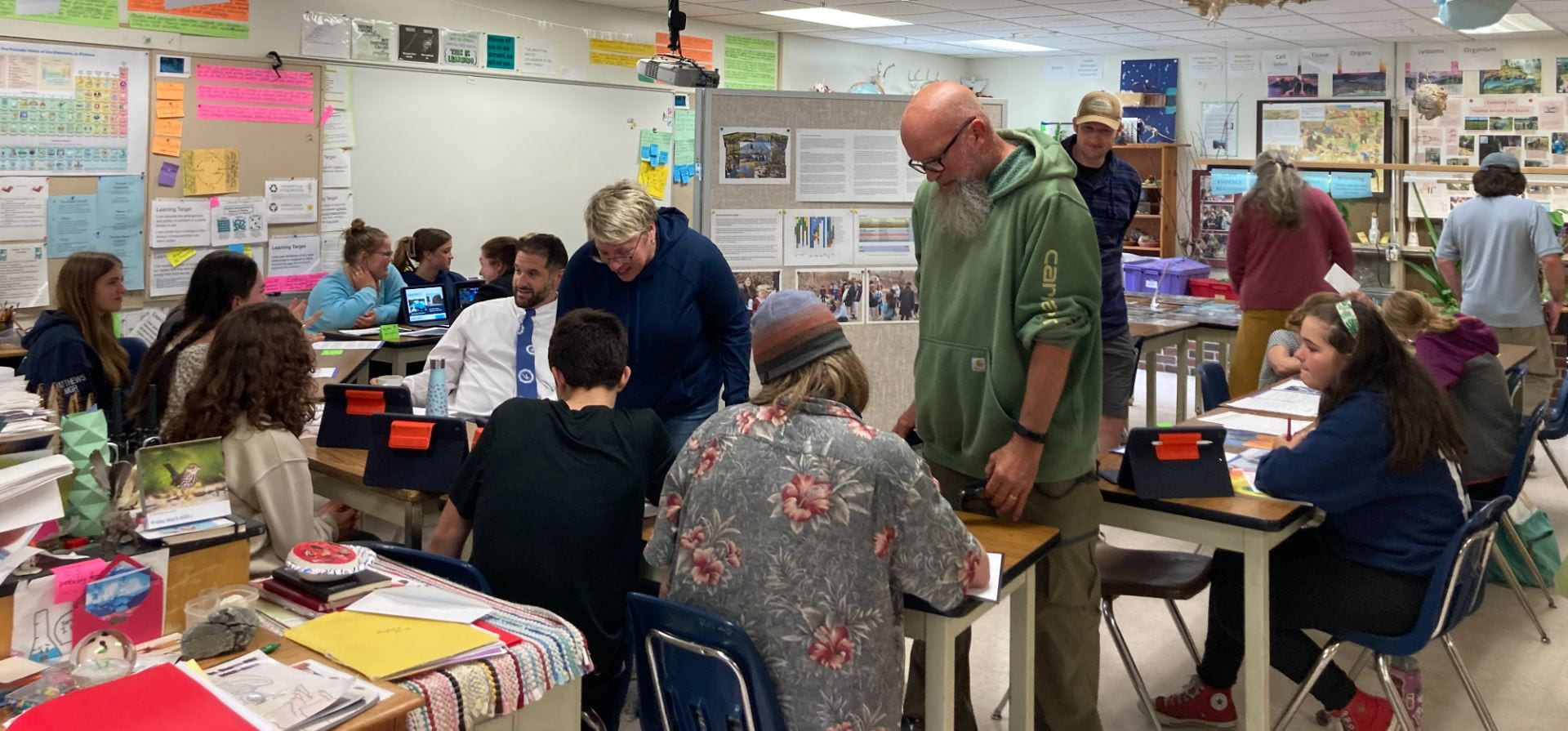
As we close this school year, we highlighted our work focusing on a study of tides in St. George, from 1910-2022 and how our town is planning to adapt to rising sea levels, and the results of our environmental DNA (eDNA) sampling!

Here’s what we learned collectively from the data set of our local high tides:


In the words of one student…
“Sea level rise (SLR) is definitely not just a problem in the Gulf of Maine. All around the globe, the ocean is expanding (molecules are spreading farther apart) causing many problems such as the loss of keystone species, flooding and much more, similar to our struggle with SLR in St. George. Both global warming (the increase of greenhouse gasses) in general and then the melting of icecaps are major contributors to SLR.
The reason SLR is so profound and noticeable in the Gulf of Maine is because the waters are warming so quickly. As the waters slowly rise, changing the currents, the Gulf Stream pushes more and more warm water north. Because of the way the topography beneath the Atlantic Ocean has formed, the warm water is forced into a channel leading into the Gulf of Maine and is trapped there. This is a real problem for us since our economy relies heavily on lobstering and fishing in general.
Early this year, our class learned what forces cause and affect tides. It is one of those topics that you don’t give a second thought to but when you investigate becomes very complex. Anyway, when the moon is close to one side of the earth, its gravitational pull causes a high tide. On the sides of the Earth at 90 degrees to that high tide side, low tide is being experienced on earth’s surface. On the opposite side of the Earth, the high tide is another high tide. This is possible because of inertia which defeats the moon’s now weak gravity on the opposite side of the Earth. It sounds a bit confusing but we have two high tides (one with the moon out one with the sun out) a day and the same for low tides. Also, tides aren’t always the same height, due to weather and stages of the moon, and there are neap tides and spring tides (lowest and highest tides of the month). Exceptionally high tides happen on full and new moons.
It takes a while to unpack information about tides, SLR, climate change and other related subjects, but once it is, this information is valuable to learn even more about the past, present and future of our ocean and our community.
The Saint George fishing community relies on the ocean, which is why global warming and sea level rise is such a concern. Tides that would have been considered exceptionally high in the past are beginning to become normal heights and on top of that, whenever there’s an intense snow or rain storm, the ocean spills over, flooding nearby docks and roads and ruining gear, bait and boats. In the scarily not-so-far-off future, roads such as Marshall Point, Drift Inn and parts of 131 may become impassable during storms and exceptional tides, raising the concern of emergency resources not being able to get through. The warming waters are also bringing in new, unwanted aquatic species and pushing out some of the old ones who need cold water to thrive. Fishermen are going to be forced to buy longer rope for traps in the future just so buoys stay afloat! That’s climate change right there.
In order to adapt to and combat these effects, our town is doing a few things: The town and the Gulf of Maine Research Institute have set up a tide gauge just off Southern Island to collect accurate, local data. The transfer station has installed solar panels on their roof and there are also new solar farms in Rockland and South Thomaston. The library is going to have an electric vehicle charging station this summer and the town office has already replaced old light bulbs with LEDs which are more energy efficient. In the future, we might start thinking about raising money for raising roads that are susceptible to flooding (like those mentioned earlier). For now, we are taking small steps in the right direction like energy efficient changes and even just taking pictures of flooding during high tides and storms to share with the community.”
Our eDNA Results:
Students collected water samples at the outlet of the marsh and at the town landing back in March.
The Marsh…The third column of values represents the number of DNA strands present (and relative abundance.)

The Landing…The third column of values represents the number of DNA strands present (and relative abundance.)

A special thanks to Dr. Hannah Baranes for providing the data set of St. George Tides, 1910-2022, correlated between the Southern Island tide gauge and Portland tide gauge data going back to 1910.
Our thanks also to Beth Campbell, Education, Outreach and Diversity Program Manager of the EPSCoR program at the University of Maine at Orono and made our eDNA sampling possible.
